Cottages at Haggonfields Lock
Introduction
The photograph on this page of Cottages at Haggonfields Lock by Alan Murray-Rust as part of the Geograph project.
The Geograph project started in 2005 with the aim of publishing, organising and preserving representative images for every square kilometre of Great Britain, Ireland and the Isle of Man.

There are currently over 7.5m images from over 14,400 individuals and you can help contribute to the project by visiting https://www.geograph.org.uk
Cottages at Haggonfields Lock
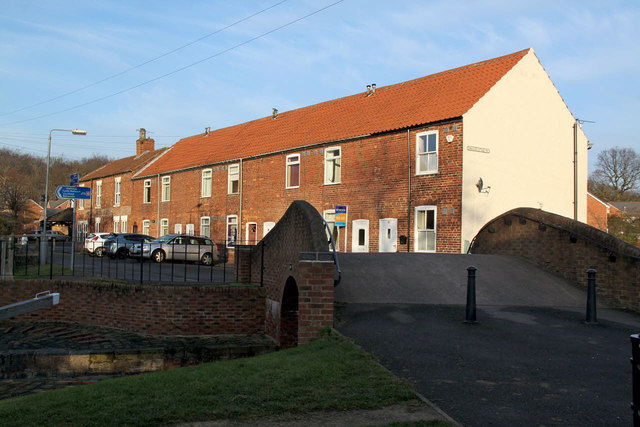
Image: © Alan Murray-Rust Taken: 20 Jan 2015
The cast iron sign on the end of the row reads 'Canalside Cottage 1901', but the row appears on 19th century OS maps, part of the small settlement of Woodhouse.
Images are licensed for reuse under creativecommons.org/licenses/by-sa/2.0
Image Location
Latitude
53.315978
Longitude
-1.150825