Map and information board for Rolle Canal inclined plane
Introduction
The photograph on this page of Map and information board for Rolle Canal inclined plane by David Smith as part of the Geograph project.
The Geograph project started in 2005 with the aim of publishing, organising and preserving representative images for every square kilometre of Great Britain, Ireland and the Isle of Man.

There are currently over 7.5m images from over 14,400 individuals and you can help contribute to the project by visiting https://www.geograph.org.uk
Map and information board for Rolle Canal inclined plane
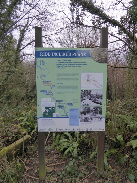
Image: © David Smith Taken: 23 Jan 2015
A sign at the upper level of the inclined plane by the Tarka Trail; the route of the Rolle Canal is waymarked. The railway was built along part of the canal route, and now the Tarka Trail foot and cyclepath follows the dismantled railway
Images are licensed for reuse under creativecommons.org/licenses/by-sa/2.0
Image Location


Leaflet Map data © OpenStreetMap
Latitude
50.98071
Longitude
-4.190777