The Roundhouse
Introduction
The photograph on this page of The Roundhouse by Claire Haystead as part of the Geograph project.
The Geograph project started in 2005 with the aim of publishing, organising and preserving representative images for every square kilometre of Great Britain, Ireland and the Isle of Man.

There are currently over 7.5m images from over 14,400 individuals and you can help contribute to the project by visiting https://www.geograph.org.uk
The Roundhouse
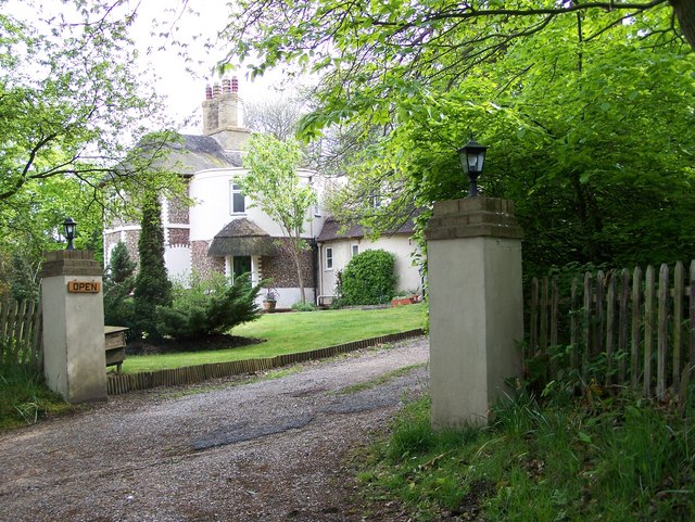
Image: © Claire Haystead Taken: 12 May 2007
The Roundhouse restaurant, stands on the corner of A12 and Thorington Road
Images are licensed for reuse under creativecommons.org/licenses/by-sa/2.0
Image Location
Latitude
52.306461
Longitude
1.568242