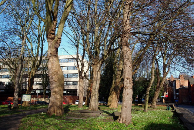
St Martin's Graveyard, Beaumont Fee, Lincoln
Introduction
The photograph on this page of St Martin's Graveyard, Beaumont Fee, Lincoln by David Hallam-Jones as part of the Geograph project.
The Geograph project started in 2005 with the aim of publishing, organising and preserving representative images for every square kilometre of Great Britain, Ireland and the Isle of Man.
There are currently over 7.5m images from over 14,400 individuals and you can help contribute to the project by visiting https://www.geograph.org.uk

Image: © David Hallam-Jones Taken: 24 Jan 2015
St Martin's Graveyard is seen here on the western side of the lower (south) end of Beaumont Fee with an office block belonging to Lincoln City Council in the background. Although the church of St Mary Crackpool was demolished following its merger with St Martin's parish in 1549, this site continued to serve as an overspill graveyard for that parish until the 1850s. The graveyard was reduced in size along its eastern boundary to make way for a southern extension of Beaumont Fee in 1886. The word 'fee' in the road name Beaumont Fee may be a variant of the word fief, meaning "a possession, a holding or a domain", i.e. a piece of land belonging to someone with Beaumont in their name?

