Track to Stonehouse Farm
Introduction
The photograph on this page of Track to Stonehouse Farm by Claire Haystead as part of the Geograph project.
The Geograph project started in 2005 with the aim of publishing, organising and preserving representative images for every square kilometre of Great Britain, Ireland and the Isle of Man.

There are currently over 7.5m images from over 14,400 individuals and you can help contribute to the project by visiting https://www.geograph.org.uk
Track to Stonehouse Farm
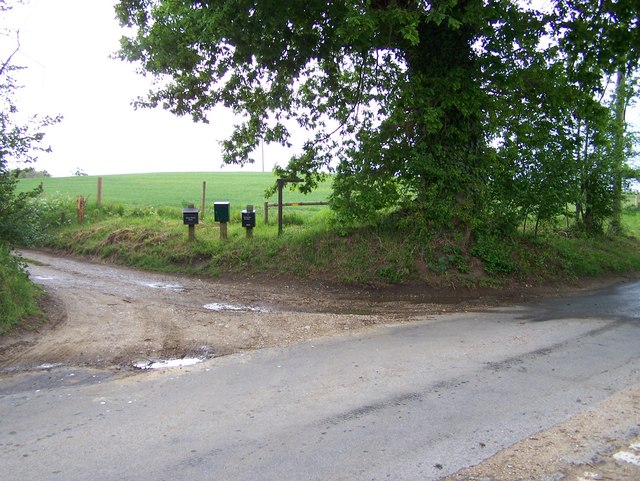
Image: © Claire Haystead Taken: 12 May 2007
Standing at the entrance to the public footpath leading to Marsh Farm, looking SW across the road to the track to Stonehouse Farm
Images are licensed for reuse under creativecommons.org/licenses/by-sa/2.0
Image Location


Leaflet Map data © OpenStreetMap
Latitude
52.309428
Longitude
1.562318