The Farrows, Loose
Introduction
The photograph on this page of The Farrows, Loose by Danny P Robinson as part of the Geograph project.
The Geograph project started in 2005 with the aim of publishing, organising and preserving representative images for every square kilometre of Great Britain, Ireland and the Isle of Man.

There are currently over 7.5m images from over 14,400 individuals and you can help contribute to the project by visiting https://www.geograph.org.uk
The Farrows, Loose
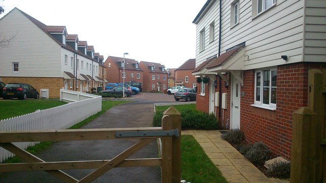
Image: © Danny P Robinson Taken: 25 Jan 2015
Viewed from Pheasant Lane, this end of The Farrows is accessible on foot or by pedal cycle only. It is a new development, built on land that used to belong to the Fire Station.
Images are licensed for reuse under creativecommons.org/licenses/by-sa/2.0
Image Location
Latitude
51.252306
Longitude
0.530375