London Loop path
Introduction
The photograph on this page of London Loop path by Robin Webster as part of the Geograph project.
The Geograph project started in 2005 with the aim of publishing, organising and preserving representative images for every square kilometre of Great Britain, Ireland and the Isle of Man.

There are currently over 7.5m images from over 14,400 individuals and you can help contribute to the project by visiting https://www.geograph.org.uk
London Loop path
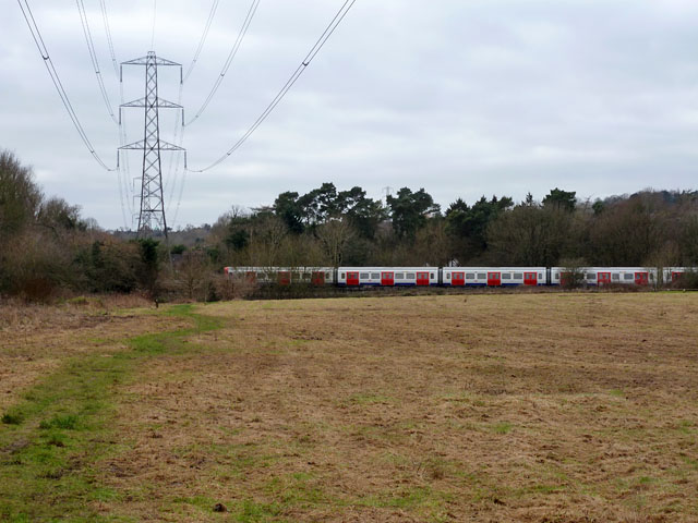
Image: © Robin Webster Taken: 25 Jan 2015
The path is the green trace through the mown grass, but in the winter this part is somewhat wet and muddy, so it is better to take a drier course through the mown area. The power line is National Grid route ZC.
Images are licensed for reuse under creativecommons.org/licenses/by-sa/2.0
Image Location
Latitude
51.62455
Longitude
-0.426641