High pressure gas pipeline marker, Lower Mill Field, Pontypool
Introduction
The photograph on this page of High pressure gas pipeline marker, Lower Mill Field, Pontypool by Jaggery as part of the Geograph project.
The Geograph project started in 2005 with the aim of publishing, organising and preserving representative images for every square kilometre of Great Britain, Ireland and the Isle of Man.

There are currently over 7.5m images from over 14,400 individuals and you can help contribute to the project by visiting https://www.geograph.org.uk
High pressure gas pipeline marker, Lower Mill Field, Pontypool
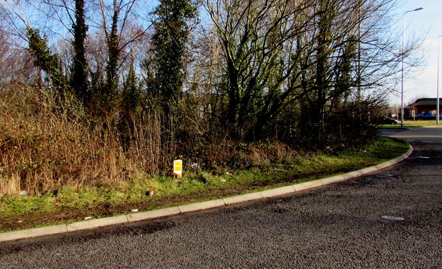
Image: © Jaggery Taken: 24 Jan 2015
Located near the roundabout at the A472 and A4042 junction, the small yellow and white sign marks an underground gas pipeline. A free call phone number is given to be rung before starting any excavation work here, or in an emergency. All calls are recorded and may be monitored.
Images are licensed for reuse under creativecommons.org/licenses/by-sa/2.0
Image Location
Latitude
51.69403
Longitude
-3.021816