Allotments at Hatfield
Introduction
The photograph on this page of Allotments at Hatfield by John Partridge as part of the Geograph project.
The Geograph project started in 2005 with the aim of publishing, organising and preserving representative images for every square kilometre of Great Britain, Ireland and the Isle of Man.

There are currently over 7.5m images from over 14,400 individuals and you can help contribute to the project by visiting https://www.geograph.org.uk
Allotments at Hatfield
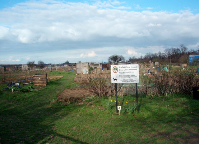
Image: © John Partridge Taken: 21 Mar 2007
These allotments serve Hatfield Garden Village and have done since the 1930s. They are on a triangle of land contained between the A1M Green Lanes and farmland in the north.
Images are licensed for reuse under creativecommons.org/licenses/by-sa/2.0
Image Location
Latitude
51.772218
Longitude
-0.231928