The Old Cottage, Whitemans Green, Whitemans Green
Introduction
The photograph on this page of The Old Cottage, Whitemans Green, Whitemans Green by Simon Carey as part of the Geograph project.
The Geograph project started in 2005 with the aim of publishing, organising and preserving representative images for every square kilometre of Great Britain, Ireland and the Isle of Man.

There are currently over 7.5m images from over 14,400 individuals and you can help contribute to the project by visiting https://www.geograph.org.uk
The Old Cottage, Whitemans Green, Whitemans Green
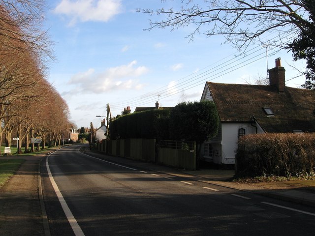
Image: © Simon Carey Taken: 24 Jan 2015
The white building on the right dates from around 1530 and was originally a hall house that was later extended around the early 18th century. Originally built opposite a small common called Whitemans Green which has since given its name to both the road, the B2115, and the settlement around it.
Images are licensed for reuse under creativecommons.org/licenses/by-sa/2.0
Image Location
Latitude
51.015037
Longitude
-0.144545