Fortuneswell, Amelia Close
Introduction
The photograph on this page of Fortuneswell, Amelia Close by Mike Faherty as part of the Geograph project.
The Geograph project started in 2005 with the aim of publishing, organising and preserving representative images for every square kilometre of Great Britain, Ireland and the Isle of Man.

There are currently over 7.5m images from over 14,400 individuals and you can help contribute to the project by visiting https://www.geograph.org.uk
Fortuneswell, Amelia Close
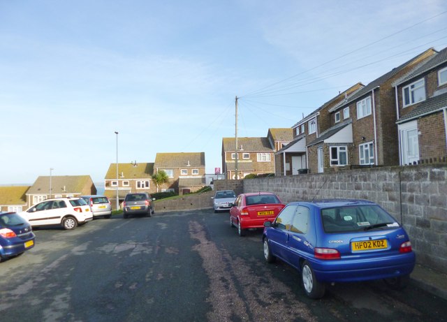
Image: © Mike Faherty Taken: 24 Jan 2015
A cul-de-sac off East Weare Road, part of a large housing development between Fortuneswell and Castletown.
Images are licensed for reuse under creativecommons.org/licenses/by-sa/2.0
Image Location
Latitude
50.565191
Longitude
-2.439056