Ystrad Bridge
Introduction
The photograph on this page of Ystrad Bridge by Adrian Dust as part of the Geograph project.
The Geograph project started in 2005 with the aim of publishing, organising and preserving representative images for every square kilometre of Great Britain, Ireland and the Isle of Man.

There are currently over 7.5m images from over 14,400 individuals and you can help contribute to the project by visiting https://www.geograph.org.uk
Ystrad Bridge
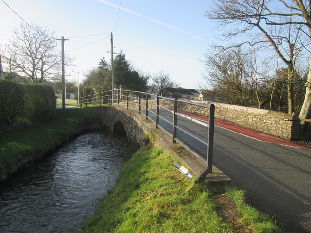
Image: © Adrian Dust Taken: 24 Jan 2015
There is an Ordnance Survey cut mark on the west parapet as well as a plaque which states the bridge was built in 1870. On the northern end of the east parapet is an Environmental Agency Bench Mark (EABM). http://www.geograph.org.uk/photo/4322295
Images are licensed for reuse under creativecommons.org/licenses/by-sa/2.0
Image Location
Latitude
51.774026
Longitude
-4.360767