Railway seen from Noah's Ark Bridge
Introduction
The photograph on this page of Railway seen from Noah's Ark Bridge by Marathon as part of the Geograph project.
The Geograph project started in 2005 with the aim of publishing, organising and preserving representative images for every square kilometre of Great Britain, Ireland and the Isle of Man.

There are currently over 7.5m images from over 14,400 individuals and you can help contribute to the project by visiting https://www.geograph.org.uk
Railway seen from Noah's Ark Bridge
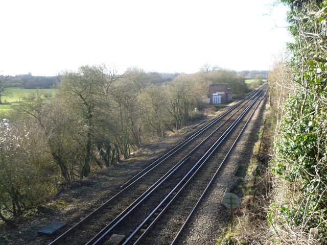
Image: © Marathon Taken: 24 Jan 2015
The line from Otford to Maidstone East was opened on 1st June 1874 by the London, Chatham & Dover Railway. Here it is between Otford and Kemsing as seen from Noah's Ark Bridge, looking back towards Otford.
Images are licensed for reuse under creativecommons.org/licenses/by-sa/2.0
Image Location
Latitude
51.297397
Longitude
0.232606