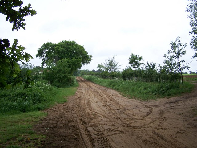
Sandy By-way near RAF Woodbridge
Introduction
The photograph on this page of Sandy By-way near RAF Woodbridge by Trevor Alder as part of the Geograph project.
The Geograph project started in 2005 with the aim of publishing, organising and preserving representative images for every square kilometre of Great Britain, Ireland and the Isle of Man.
There are currently over 7.5m images from over 14,400 individuals and you can help contribute to the project by visiting https://www.geograph.org.uk

Image: © Trevor Alder Taken: 13 May 2007
Looking north-west up a very sandy (and damp!) by-way not too far from RAF Woodbridge. Farmers have redular access to their land off these by-ways, with regular "keep-out" signs for drivers of 4x4s and scrambling motorcycles. Most of the by-ways here are tree lined making navigation relatively easy.

