Waste Tips and Pasture
Introduction
The photograph on this page of Waste Tips and Pasture by Tony Atkin as part of the Geograph project.
The Geograph project started in 2005 with the aim of publishing, organising and preserving representative images for every square kilometre of Great Britain, Ireland and the Isle of Man.

There are currently over 7.5m images from over 14,400 individuals and you can help contribute to the project by visiting https://www.geograph.org.uk
Waste Tips and Pasture
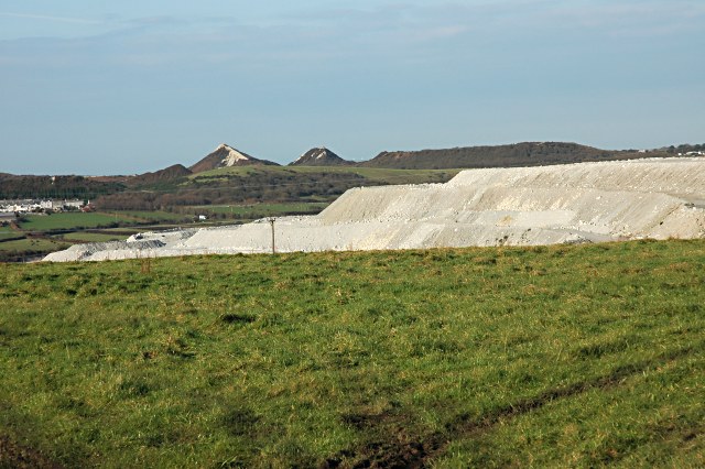
Image: © Tony Atkin Taken: 19 Nov 2005
Another view of the active waste tip. On the horizon are the two distinctive old conical tips near St Dennis about 3 kilometres away. Image gives a closer view of them.
Images are licensed for reuse under creativecommons.org/licenses/by-sa/2.0
Image Location


Leaflet Map data © OpenStreetMap
Latitude
50.366669
Longitude
-4.854673