The Penk valley
Introduction
The photograph on this page of The Penk valley by Richard Law as part of the Geograph project.
The Geograph project started in 2005 with the aim of publishing, organising and preserving representative images for every square kilometre of Great Britain, Ireland and the Isle of Man.

There are currently over 7.5m images from over 14,400 individuals and you can help contribute to the project by visiting https://www.geograph.org.uk
The Penk valley
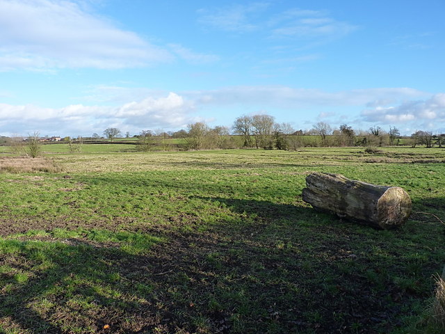
Image: © Richard Law Taken: 17 Jan 2015
The River Penk, having arisen from a number of tributaries around Perton, Wergs and Codsall, turns north and heads towards Penkridge through this shallow valley. It eventually joins the Sow just east of Stafford.
Images are licensed for reuse under creativecommons.org/licenses/by-sa/2.0
Image Location
Latitude
52.684164
Longitude
-2.160754