Seven Mile Inn, Ravenshead, Notts.
Introduction
The photograph on this page of Seven Mile Inn, Ravenshead, Notts. by David Hallam-Jones as part of the Geograph project.
The Geograph project started in 2005 with the aim of publishing, organising and preserving representative images for every square kilometre of Great Britain, Ireland and the Isle of Man.

There are currently over 7.5m images from over 14,400 individuals and you can help contribute to the project by visiting https://www.geograph.org.uk
Seven Mile Inn, Ravenshead, Notts.
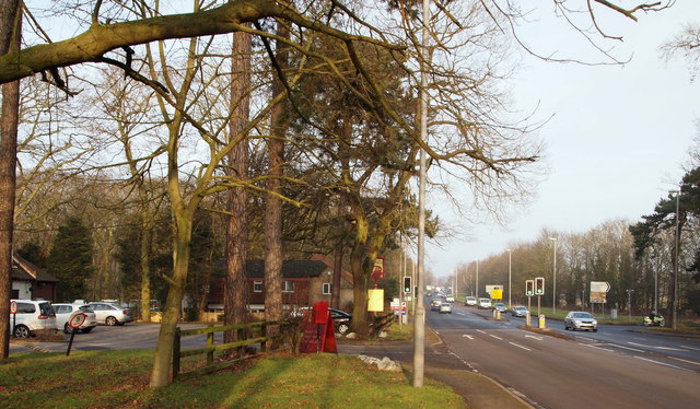
Image: © David Hallam-Jones Taken: 23 Jan 2015
A small pile of snow from a fall on Boxing Day 2014 sitting at the entrance to the car park of Seven Mile Inn. Passing it is the A60 road (the main Nottingham-Mansfield road). The car in the foreground is travelling towards Nottingham whilst a motor-cyclist can be seen turning left into Burntstump Hill, off which can be found Burntstump Country Park. Walkers on the Robin Hood Way (Long Distance Trail) use these traffic lights to cross from Burntstump Country Park to another rural section of it that can be picked up immediately after a road bridge that crosses the former Calverton Colliery Railway track bed 3-4 minutes walk ahead.
Images are licensed for reuse under creativecommons.org/licenses/by-sa/2.0
Image Location
Latitude
53.049077
Longitude
-1.149067