The western end of Gover Road
Introduction
The photograph on this page of The western end of Gover Road by Tony Atkin as part of the Geograph project.
The Geograph project started in 2005 with the aim of publishing, organising and preserving representative images for every square kilometre of Great Britain, Ireland and the Isle of Man.

There are currently over 7.5m images from over 14,400 individuals and you can help contribute to the project by visiting https://www.geograph.org.uk
The western end of Gover Road
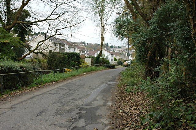
Image: © Tony Atkin Taken: 19 Nov 2005
Further away from the town centre this valley-bottom road starts to look more like a country lane.
Images are licensed for reuse under creativecommons.org/licenses/by-sa/2.0
Image Location
Latitude
50.341808
Longitude
-4.808061