Church Lane (Transpennine Trail)
Introduction
The photograph on this page of Church Lane (Transpennine Trail) by JThomas as part of the Geograph project.
The Geograph project started in 2005 with the aim of publishing, organising and preserving representative images for every square kilometre of Great Britain, Ireland and the Isle of Man.

There are currently over 7.5m images from over 14,400 individuals and you can help contribute to the project by visiting https://www.geograph.org.uk
Church Lane (Transpennine Trail)
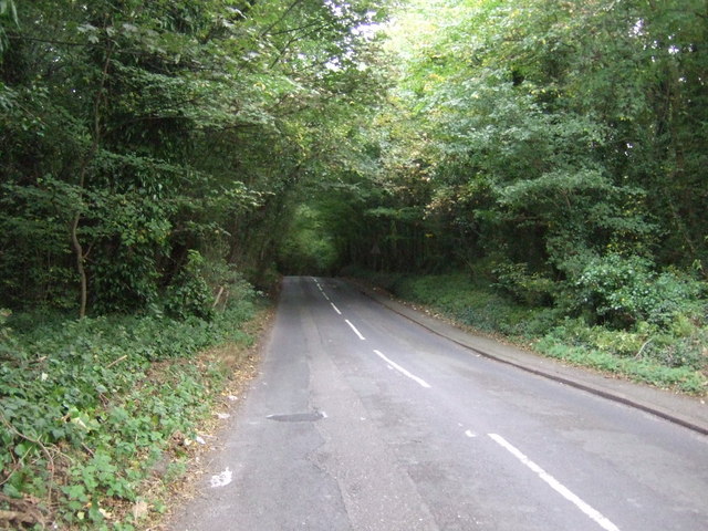
Image: © JThomas Taken: 27 Sep 2014
Heading north east on National Cycle Route 67.
Images are licensed for reuse under creativecommons.org/licenses/by-sa/2.0
Image Location
Latitude
53.490291
Longitude
-1.485111