Fields near Marshwood Manor
Introduction
The photograph on this page of Fields near Marshwood Manor by Nigel Mykura as part of the Geograph project.
The Geograph project started in 2005 with the aim of publishing, organising and preserving representative images for every square kilometre of Great Britain, Ireland and the Isle of Man.

There are currently over 7.5m images from over 14,400 individuals and you can help contribute to the project by visiting https://www.geograph.org.uk
Fields near Marshwood Manor
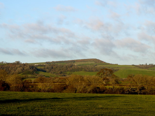
Image: © Nigel Mykura Taken: 3 Dec 2014
Marshwood Manor is just out of image to the left in the valley. Pilsdon Pen Iron age fort is visible in the distance. It is the second highest point in Dorset after neighbouring Lewesdon Hill in ST4101
Images are licensed for reuse under creativecommons.org/licenses/by-sa/2.0
Image Location
Latitude
50.785379
Longitude
-2.853066