Edenvale Open Space
Introduction
The photograph on this page of Edenvale Open Space by Marathon as part of the Geograph project.
The Geograph project started in 2005 with the aim of publishing, organising and preserving representative images for every square kilometre of Great Britain, Ireland and the Isle of Man.

There are currently over 7.5m images from over 14,400 individuals and you can help contribute to the project by visiting https://www.geograph.org.uk
Edenvale Open Space
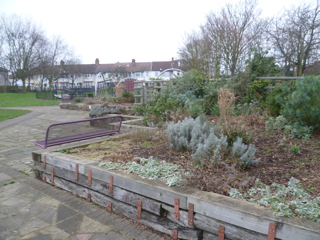
Image: © Marathon Taken: 21 Jan 2015
This small recreation ground is accessible from Woodland Way, where it is behind the North East Mitcham Community Centre, and from Edenvale Road. It packs quite a lot into its area, including a wildlife area, a playground and this raised garden. The houses in the distance are in Edenvale Road. See http://www.merton.gov.uk/environment/openspaces/parks/parks_in_the_mitcham_area/edenvale_open_space.htm for more information.
Images are licensed for reuse under creativecommons.org/licenses/by-sa/2.0
Image Location
Latitude
51.417543
Longitude
-0.154898