Newtown Swing Bridge, Kennet and Avon Canal
Introduction
The photograph on this page of Newtown Swing Bridge, Kennet and Avon Canal by Dr Neil Clifton as part of the Geograph project.
The Geograph project started in 2005 with the aim of publishing, organising and preserving representative images for every square kilometre of Great Britain, Ireland and the Isle of Man.

There are currently over 7.5m images from over 14,400 individuals and you can help contribute to the project by visiting https://www.geograph.org.uk
Newtown Swing Bridge, Kennet and Avon Canal
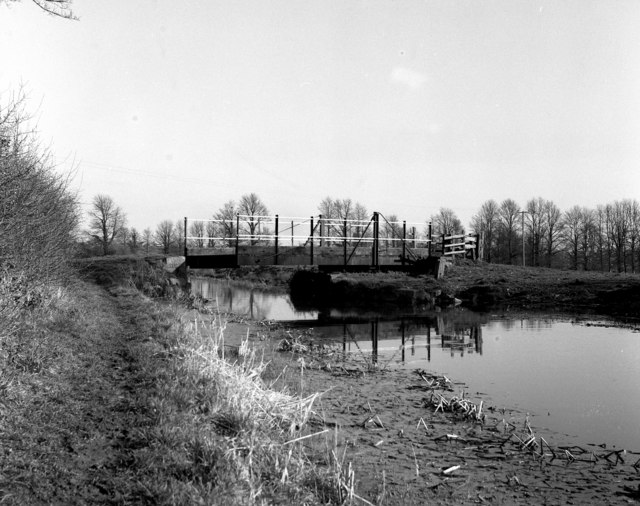
Image: © Dr Neil Clifton Taken: 26 Feb 1977
This is quite definitely not a standard K&A swing bridge, which suggests strongly that it was a private construction for accommodation purposes by the farmer at the nearby Newtown Farm. It does, however, carry a public footpath - possibly a concession required by the canal company to permit its construction.
Images are licensed for reuse under creativecommons.org/licenses/by-sa/2.0
Image Location
Latitude
51.346204
Longitude
-2.134915