Path junction, Snake Hill Wood
Introduction
The photograph on this page of Path junction, Snake Hill Wood by Derek Harper as part of the Geograph project.
The Geograph project started in 2005 with the aim of publishing, organising and preserving representative images for every square kilometre of Great Britain, Ireland and the Isle of Man.

There are currently over 7.5m images from over 14,400 individuals and you can help contribute to the project by visiting https://www.geograph.org.uk
Path junction, Snake Hill Wood
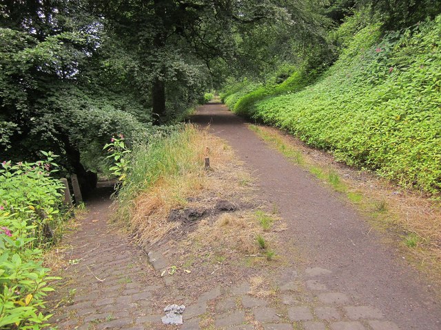
Image: © Derek Harper Taken: 3 Jul 2014
The two paths cross so this is a diagonal crossroads. The cobbled path on the left is that shown lower down the hillside in Image
Images are licensed for reuse under creativecommons.org/licenses/by-sa/2.0
Image Location


Leaflet Map data © OpenStreetMap
Latitude
53.728897
Longitude
-1.879011