Remains of a moat at Bruera
Introduction
The photograph on this page of Remains of a moat at Bruera by Christine Johnstone as part of the Geograph project.
The Geograph project started in 2005 with the aim of publishing, organising and preserving representative images for every square kilometre of Great Britain, Ireland and the Isle of Man.

There are currently over 7.5m images from over 14,400 individuals and you can help contribute to the project by visiting https://www.geograph.org.uk
Remains of a moat at Bruera
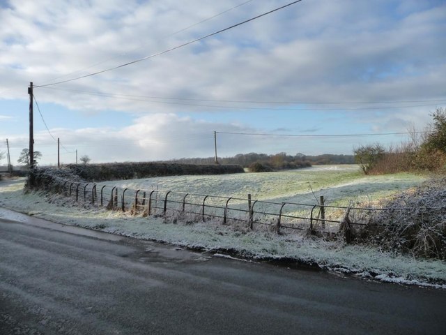
Image: © Christine Johnstone Taken: 18 Jan 2015
The southernmost of three sides of a square, to the west of Chapel Lane. Once the moat surrounded a manor house.
Images are licensed for reuse under creativecommons.org/licenses/by-sa/2.0
Image Location
Latitude
53.139204
Longitude
-2.842765