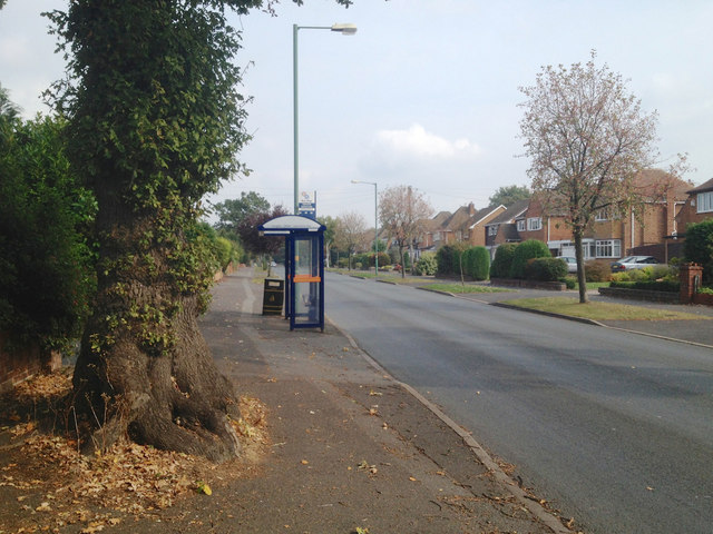
Bus stop, Solihull Road approaching Sharmans Cross, Shirley
Introduction
The photograph on this page of Bus stop, Solihull Road approaching Sharmans Cross, Shirley by Robin Stott as part of the Geograph project.
The Geograph project started in 2005 with the aim of publishing, organising and preserving representative images for every square kilometre of Great Britain, Ireland and the Isle of Man.
There are currently over 7.5m images from over 14,400 individuals and you can help contribute to the project by visiting https://www.geograph.org.uk

Image: © Robin Stott Taken: 23 Sep 2014
Extensive residential development doesn't appear on OS maps until 1937; before that it was a neat landscape of small fields. The oak tree on the left must be a survivor from that time, taking its place in a hedgerow bounding Solihull Road.

