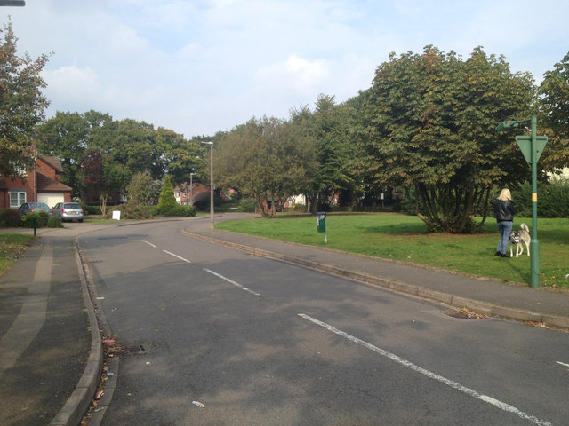
Ashwell Drive off Stanway Road, Shirley
Introduction
The photograph on this page of Ashwell Drive off Stanway Road, Shirley by Robin Stott as part of the Geograph project.
The Geograph project started in 2005 with the aim of publishing, organising and preserving representative images for every square kilometre of Great Britain, Ireland and the Isle of Man.
There are currently over 7.5m images from over 14,400 individuals and you can help contribute to the project by visiting https://www.geograph.org.uk

Image: © Robin Stott Taken: 23 Sep 2014
A small development of branching cul-de-sacs (culs-de-sac if you prefer). Before 1937 old maps show a flat countryside of small fields; urban development is creeping east along Solihull Road from Shirley Street. There is intermittent development on Prospect Lane and Danford Lane north and south of Sharmans Cross. The parallel residential roads – Welford Road, Stanway Road, Cropthorne Road and Solihull Road – appear on the OS 1:2500 map of 1937, along with a school fronting Solihull Road where Ashwell Drive is now. By 1954-55 the school – Sharmans Cross Secondary School – has expanded with a playing field to the north. By 1962-63 it is Sharmans Cross Secondary School for Girls, with a further playing field to the east; it continues to be shown thus at least until 1992, surrounded by residential roads. Just guessing, Ashwell Drive dates from around 2000.

