Townsend, Haddenham
Introduction
The photograph on this page of Townsend, Haddenham by David Hawgood as part of the Geograph project.
The Geograph project started in 2005 with the aim of publishing, organising and preserving representative images for every square kilometre of Great Britain, Ireland and the Isle of Man.

There are currently over 7.5m images from over 14,400 individuals and you can help contribute to the project by visiting https://www.geograph.org.uk
Townsend, Haddenham
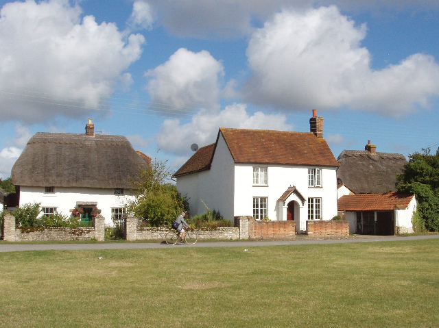
Image: © David Hawgood Taken: 25 Aug 2005
There are old houses around a green, and nearby are ponds for the ducks which used to be reared here. This was a hamlet outside Haddenham, it is now inside the built up area of Haddenham.
Images are licensed for reuse under creativecommons.org/licenses/by-sa/2.0
Image Location
Latitude
51.776573
Longitude
-0.927378