Strines Road Narrows, south-east of Marple, Stockport
Introduction
The photograph on this page of Strines Road Narrows, south-east of Marple, Stockport by Roger D Kidd as part of the Geograph project.
The Geograph project started in 2005 with the aim of publishing, organising and preserving representative images for every square kilometre of Great Britain, Ireland and the Isle of Man.

There are currently over 7.5m images from over 14,400 individuals and you can help contribute to the project by visiting https://www.geograph.org.uk
Strines Road Narrows, south-east of Marple, Stockport
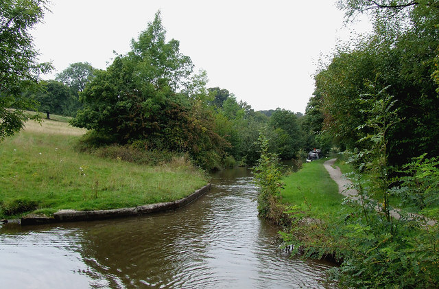
Image: © Roger D Kidd Taken: 5 Sep 2014
This constriction in the width of the Peak Forest Canal shows where a probable swing bridge used to be. It does not feature in the current numbering sequence. Can anyone let us know when it was removed, please?
Images are licensed for reuse under creativecommons.org/licenses/by-sa/2.0
Image Location
Latitude
53.386671
Longitude
-2.053335