Uplands Avenue, Clayton Heights
Introduction
The photograph on this page of Uplands Avenue, Clayton Heights by Derek Harper as part of the Geograph project.
The Geograph project started in 2005 with the aim of publishing, organising and preserving representative images for every square kilometre of Great Britain, Ireland and the Isle of Man.

There are currently over 7.5m images from over 14,400 individuals and you can help contribute to the project by visiting https://www.geograph.org.uk
Uplands Avenue, Clayton Heights
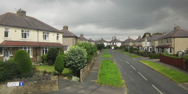
Image: © Derek Harper Taken: 3 Jul 2014
Here's something you wouldn't get in a new development. As the road name indicates, this is a cul-de-sac - it also leads to Uplands Grove and Uplands Crescent. Meanwhile, just up the A647 is Uplands Close, also a cul-de-sac. Such a recipe for confusion would be proscribed by today's planners.
Images are licensed for reuse under creativecommons.org/licenses/by-sa/2.0
Image Location
Latitude
53.772238
Longitude
-1.822141