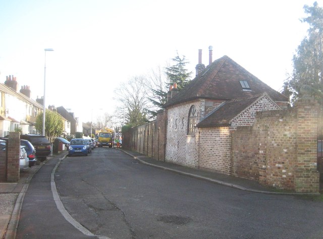
Hillingdon Heath: West Drayton Road
Introduction
The photograph on this page of Hillingdon Heath: West Drayton Road by Nigel Cox as part of the Geograph project.
The Geograph project started in 2005 with the aim of publishing, organising and preserving representative images for every square kilometre of Great Britain, Ireland and the Isle of Man.
There are currently over 7.5m images from over 14,400 individuals and you can help contribute to the project by visiting https://www.geograph.org.uk

Image: © Nigel Cox Taken: 11 Jan 2015
The new route of West Drayton Road thankfully bypasses this narrow section, and is across to the right. The house on the right, behind the wall, is surprisingly old, circa 1700, while the visible coach house and the boundary wall are themselves 18th and 19th century respectively and Grade II Listed. A gully clearing tanker is in operation at the far end of the view.

