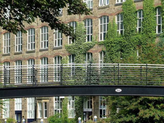
Footbridge and mill near Bollington, Cheshire
Introduction
The photograph on this page of Footbridge and mill near Bollington, Cheshire by Roger D Kidd as part of the Geograph project.
The Geograph project started in 2005 with the aim of publishing, organising and preserving representative images for every square kilometre of Great Britain, Ireland and the Isle of Man.
There are currently over 7.5m images from over 14,400 individuals and you can help contribute to the project by visiting https://www.geograph.org.uk

Image: © Roger D Kidd Taken: 5 Sep 2014
Bridge 26A across the Macclesfield Canal is seen here against the imposing architecture of the Clarence Mill. The first mill by Clarence Road dated from between 1834 and 1838. It was extended along the canal to the north-west in 1841, and again to its final length in 1857. In 1877 the original mill was demolished and rebuilt, higher and more than double the width, and forming two current two section configuration. (Source https://happyvalley.org.uk/?page_id=3946 ) It is now converted for use by many small businesses and enterprises. Here is an image taken looking north from the bridge: http://www.geograph.org.uk/photo/2054626

