Village boundary, Steeple Claydon
Introduction
The photograph on this page of Village boundary, Steeple Claydon by Andy Gryce as part of the Geograph project.
The Geograph project started in 2005 with the aim of publishing, organising and preserving representative images for every square kilometre of Great Britain, Ireland and the Isle of Man.

There are currently over 7.5m images from over 14,400 individuals and you can help contribute to the project by visiting https://www.geograph.org.uk
Village boundary, Steeple Claydon
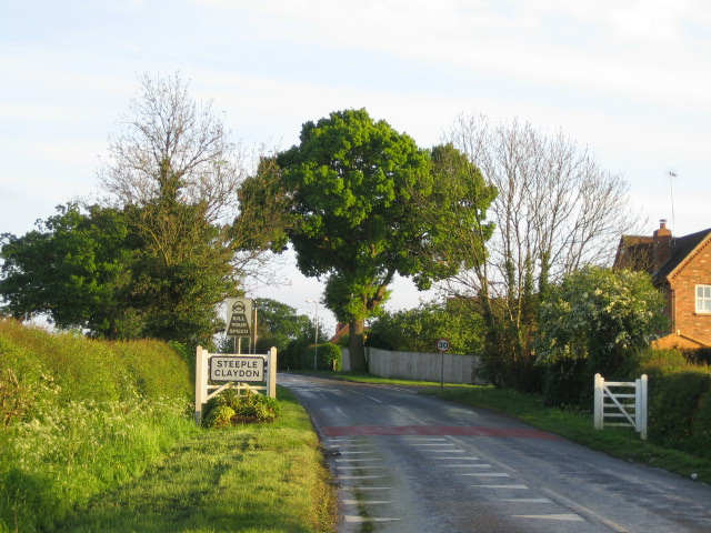
Image: © Andy Gryce Taken: 12 May 2007
This is the north-east edge of the village of Steeple Claydon on the Buckingham Road that comes from Padbury 4km to the north-west. Steeple Claydon is one of four villages in north Buckinghamshire collectively known as The Claydons. The name comes from the Old English clægig + dun and means 'clayey hill', and much of Steeple Claydon lies on a hill which is over 100m. The village church, St Michael's, is near the top of the hill and its spire dominates the skyline, and hence 'Steeple' was used to distinguish the village from the other Claydons.
Images are licensed for reuse under creativecommons.org/licenses/by-sa/2.0
Image Location
Latitude
51.939494
Longitude
-0.977758