Turn off for Tiffield
Introduction
The photograph on this page of Turn off for Tiffield by JThomas as part of the Geograph project.
The Geograph project started in 2005 with the aim of publishing, organising and preserving representative images for every square kilometre of Great Britain, Ireland and the Isle of Man.

There are currently over 7.5m images from over 14,400 individuals and you can help contribute to the project by visiting https://www.geograph.org.uk
Turn off for Tiffield
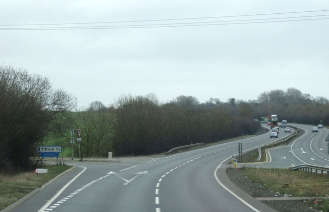
Image: © JThomas Taken: 9 Mar 2012
A43 heading north east towards the M1 motorway and Northampton.
Images are licensed for reuse under creativecommons.org/licenses/by-sa/2.0
Image Location
Latitude
52.142529
Longitude
-0.990361