All Saint's Church, Springfield Green
Introduction
The photograph on this page of All Saint's Church, Springfield Green by Trevor Alder as part of the Geograph project.
The Geograph project started in 2005 with the aim of publishing, organising and preserving representative images for every square kilometre of Great Britain, Ireland and the Isle of Man.

There are currently over 7.5m images from over 14,400 individuals and you can help contribute to the project by visiting https://www.geograph.org.uk
All Saint's Church, Springfield Green
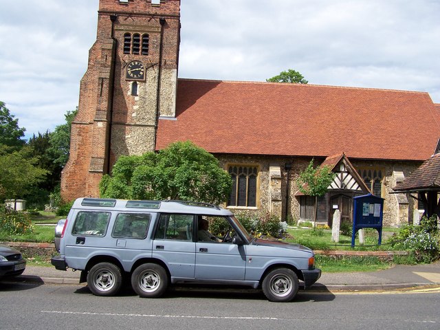
Image: © Trevor Alder Taken: 11 May 2007
My local church when I was at school in the 1960s and 1970s, we visited for Harvest Festivals etc. It was built nearly 1000 years ago. The church and its surrounding graveyard stands at the very north east corner of this grid reference, next to Springfield Place and Springfield Green.
Images are licensed for reuse under creativecommons.org/licenses/by-sa/2.0
Image Location
Latitude
51.744499
Longitude
0.489123