Track at Muir of Tarradale
Introduction
The photograph on this page of Track at Muir of Tarradale by Alpin Stewart as part of the Geograph project.
The Geograph project started in 2005 with the aim of publishing, organising and preserving representative images for every square kilometre of Great Britain, Ireland and the Isle of Man.

There are currently over 7.5m images from over 14,400 individuals and you can help contribute to the project by visiting https://www.geograph.org.uk
Track at Muir of Tarradale
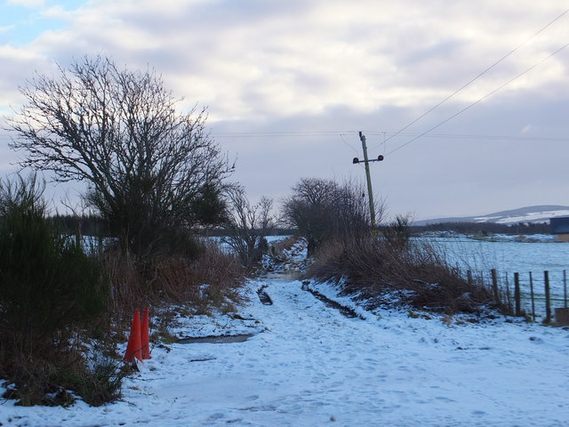
Image: © Alpin Stewart Taken: 18 Jan 2015
This track is part of an old route leading across the southern end of the Black Isle to Redcastle.
Images are licensed for reuse under creativecommons.org/licenses/by-sa/2.0
Image Location
Latitude
57.527849
Longitude
-4.427698