Pasture near Hurdsfield by Macclesfield, Cheshire
Introduction
The photograph on this page of Pasture near Hurdsfield by Macclesfield, Cheshire by Roger D Kidd as part of the Geograph project.
The Geograph project started in 2005 with the aim of publishing, organising and preserving representative images for every square kilometre of Great Britain, Ireland and the Isle of Man.

There are currently over 7.5m images from over 14,400 individuals and you can help contribute to the project by visiting https://www.geograph.org.uk
Pasture near Hurdsfield by Macclesfield, Cheshire
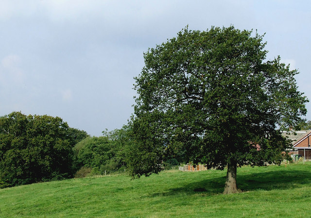
Image: © Roger D Kidd Taken: 5 Sep 2014
Seen from the Macclesfield Canal south of Barrack Road Bridge (which carries Higher Fence Road!) Cattle were grazing in this field.
Images are licensed for reuse under creativecommons.org/licenses/by-sa/2.0
Image Location
Latitude
53.262769
Longitude
-2.108349