Berrator Farm
Introduction
The photograph on this page of Berrator Farm by Derek Harper as part of the Geograph project.
The Geograph project started in 2005 with the aim of publishing, organising and preserving representative images for every square kilometre of Great Britain, Ireland and the Isle of Man.

There are currently over 7.5m images from over 14,400 individuals and you can help contribute to the project by visiting https://www.geograph.org.uk
Berrator Farm
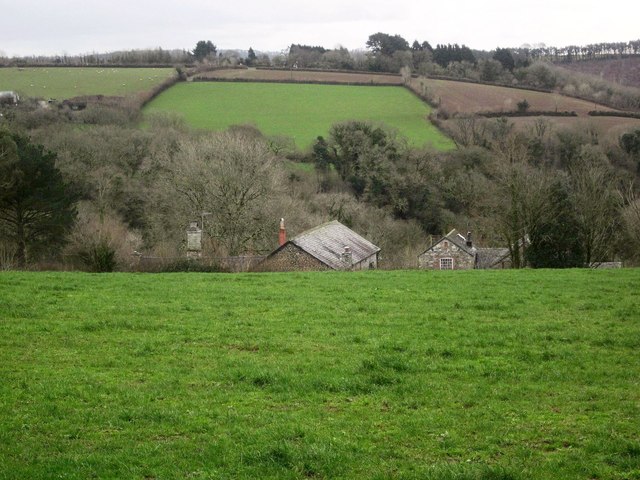
Image: © Derek Harper Taken: 17 Jan 2015
From a circuitous lane around the countryside, a view of a farm on the same lane; just over 100 metres away as the crow flies, but nearly 500 metres away via the lane. The farmhouse in the centre has C15 origins and "several unusual features" http://list.english-heritage.org.uk/resultsingle.aspx?uid=1105485&searchtype=mapsearch .
Images are licensed for reuse under creativecommons.org/licenses/by-sa/2.0
Image Location
Latitude
50.498523
Longitude
-4.148499