Chester Road and a bench mark
Introduction
The photograph on this page of Chester Road and a bench mark by John S Turner as part of the Geograph project.
The Geograph project started in 2005 with the aim of publishing, organising and preserving representative images for every square kilometre of Great Britain, Ireland and the Isle of Man.

There are currently over 7.5m images from over 14,400 individuals and you can help contribute to the project by visiting https://www.geograph.org.uk
Chester Road and a bench mark
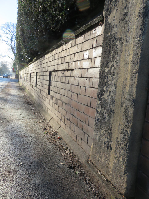
Image: © John S Turner Taken: 5 Jan 2015
Looking south along Chester Road. There is an Ordnance Survey Bench mark on the stone post on the right: Image
Images are licensed for reuse under creativecommons.org/licenses/by-sa/2.0
Image Location


Leaflet Map data © OpenStreetMap
Latitude
53.052566
Longitude
-2.991905