Brail Lane, Eakring, Notts.
Introduction
The photograph on this page of Brail Lane, Eakring, Notts. by David Hallam-Jones as part of the Geograph project.
The Geograph project started in 2005 with the aim of publishing, organising and preserving representative images for every square kilometre of Great Britain, Ireland and the Isle of Man.

There are currently over 7.5m images from over 14,400 individuals and you can help contribute to the project by visiting https://www.geograph.org.uk
Brail Lane, Eakring, Notts.
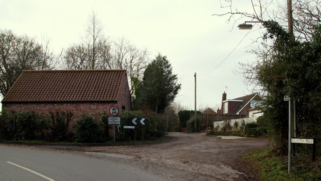
Image: © David Hallam-Jones Taken: 16 Jan 2015
Brail Lane (ahead) is asphalted for a 50 metres or so, after which it becomes what it perhaps once was - a farm track - running for several miles towards Eakring Brail Wood. The entrance to the National Grid Training & Development Centre is located about 100 metres or so further along Kirklington Road - to the left, whilst the village of Eakring lies a 5 minute walk away behind the photographer.
Images are licensed for reuse under creativecommons.org/licenses/by-sa/2.0
Image Location
Latitude
53.146497
Longitude
-0.995833