Collapsed buildings alongside Pen y Bryn, the A5152
Introduction
The photograph on this page of Collapsed buildings alongside Pen y Bryn, the A5152 by John S Turner as part of the Geograph project.
The Geograph project started in 2005 with the aim of publishing, organising and preserving representative images for every square kilometre of Great Britain, Ireland and the Isle of Man.

There are currently over 7.5m images from over 14,400 individuals and you can help contribute to the project by visiting https://www.geograph.org.uk
Collapsed buildings alongside Pen y Bryn, the A5152
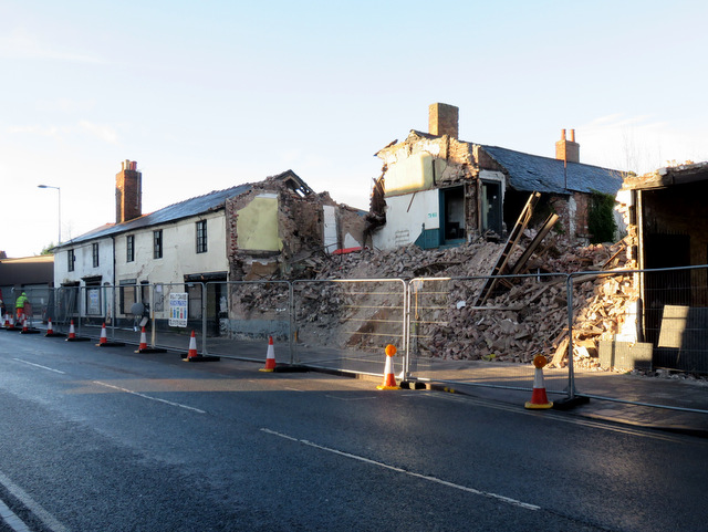
Image: © John S Turner Taken: 5 Jan 2015
On the evening of the 4th January 2015 these buildings alongside the A5152 collapsed across the road narrowly missing two cars. The demolition gang worked through the night to clear the road and had it open again by morning.
Images are licensed for reuse under creativecommons.org/licenses/by-sa/2.0
Image Location
Latitude
53.04291
Longitude
-2.996307