Farmland on the west side of Back Road
Introduction
The photograph on this page of Farmland on the west side of Back Road by Eric Jones as part of the Geograph project.
The Geograph project started in 2005 with the aim of publishing, organising and preserving representative images for every square kilometre of Great Britain, Ireland and the Isle of Man.

There are currently over 7.5m images from over 14,400 individuals and you can help contribute to the project by visiting https://www.geograph.org.uk
Farmland on the west side of Back Road
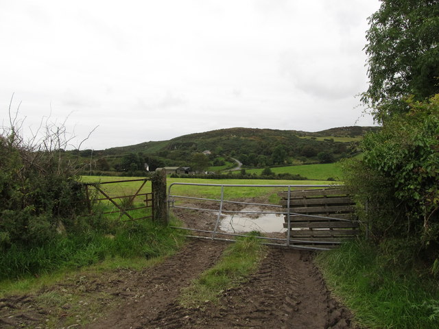
Image: © Eric Jones Taken: 2 Sep 2014
Cranny Road can be seen in the background climbing up to a col between Cashel and Mullaghbawn mountains. The quarry above the road is the site of geological significance.
Images are licensed for reuse under creativecommons.org/licenses/by-sa/2.0
Image Location
Latitude
54.109035
Longitude
-6.497325