Path from Dunton to Cublington
Introduction
The photograph on this page of Path from Dunton to Cublington by David Hawgood as part of the Geograph project.
The Geograph project started in 2005 with the aim of publishing, organising and preserving representative images for every square kilometre of Great Britain, Ireland and the Isle of Man.

There are currently over 7.5m images from over 14,400 individuals and you can help contribute to the project by visiting https://www.geograph.org.uk
Path from Dunton to Cublington
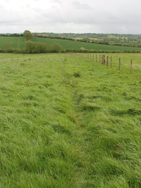
Image: © David Hawgood Taken: 12 May 2007
The path leaves Dunton by a very narrow alleyway between houses in Park Close. Then it runs downhill through this grass field.
Images are licensed for reuse under creativecommons.org/licenses/by-sa/2.0
Image Location


Leaflet Map data © OpenStreetMap
Latitude
51.908213
Longitude
-0.806641