Old Barskimming Bridge.
Introduction
The photograph on this page of Old Barskimming Bridge. by Stuart Brabbs as part of the Geograph project.
The Geograph project started in 2005 with the aim of publishing, organising and preserving representative images for every square kilometre of Great Britain, Ireland and the Isle of Man.

There are currently over 7.5m images from over 14,400 individuals and you can help contribute to the project by visiting https://www.geograph.org.uk
Old Barskimming Bridge.
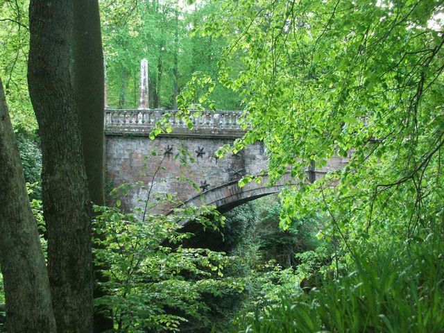
Image: © Stuart Brabbs Taken: 12 May 2007
This ancient bridge dates back to approx. 1770. It spans the River Ayr some 90 feet (approx.) below. There is no public vehicular access to the bridge.
Images are licensed for reuse under creativecommons.org/licenses/by-sa/2.0
Image Location
Latitude
55.496673
Longitude
-4.404234