Field between Keele Road and Cemetery Road
Introduction
The photograph on this page of Field between Keele Road and Cemetery Road by Jonathan Hutchins as part of the Geograph project.
The Geograph project started in 2005 with the aim of publishing, organising and preserving representative images for every square kilometre of Great Britain, Ireland and the Isle of Man.

There are currently over 7.5m images from over 14,400 individuals and you can help contribute to the project by visiting https://www.geograph.org.uk
Field between Keele Road and Cemetery Road
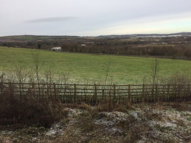
Image: © Jonathan Hutchins Taken: 14 Jan 2015
This is the same field as seen in http://www.geograph.org.uk/photo/4312931 and http://www.geograph.org.uk/photo/4312941. Cars heading towards Silverdale can be seen travelling west along Cemetery Road just in front of the line of trees towards the top of the picture.
Images are licensed for reuse under creativecommons.org/licenses/by-sa/2.0
Image Location
Latitude
53.007436
Longitude
-2.256141