Malmesbury Hub
Introduction
The photograph on this page of Malmesbury Hub by Jaggery as part of the Geograph project.
The Geograph project started in 2005 with the aim of publishing, organising and preserving representative images for every square kilometre of Great Britain, Ireland and the Isle of Man.

There are currently over 7.5m images from over 14,400 individuals and you can help contribute to the project by visiting https://www.geograph.org.uk
Malmesbury Hub
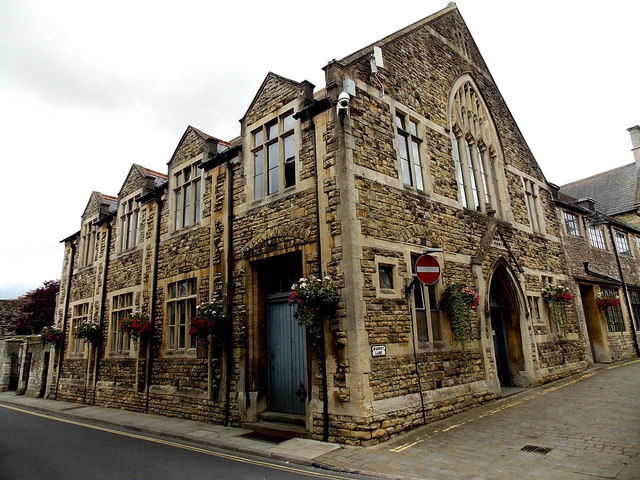
Image: © Jaggery Taken: 17 Aug 2014
Malmesbury Hub is a Malmesbury Town Council project in partnership with Greensquare housing association. The room is at the back of the Malmesbury Town Hall (formerly called the Old School Room and The Market Room), on the corner of Market Lane and Oxford Street. It will become a community user room.
Images are licensed for reuse under creativecommons.org/licenses/by-sa/2.0
Image Location
Latitude
51.583797
Longitude
-2.097083