Path in Wyre Forest, near Buttonoak
Introduction
The photograph on this page of Path in Wyre Forest, near Buttonoak by P L Chadwick as part of the Geograph project.
The Geograph project started in 2005 with the aim of publishing, organising and preserving representative images for every square kilometre of Great Britain, Ireland and the Isle of Man.

There are currently over 7.5m images from over 14,400 individuals and you can help contribute to the project by visiting https://www.geograph.org.uk
Path in Wyre Forest, near Buttonoak
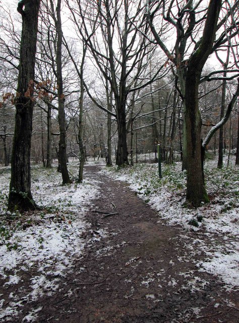
Image: © P L Chadwick Taken: 14 Jan 2015
This short path connects two forestry roads.
Images are licensed for reuse under creativecommons.org/licenses/by-sa/2.0
Image Location
Latitude
52.39609
Longitude
-2.346345