Hayes: Central Avenue
Introduction
The photograph on this page of Hayes: Central Avenue by Nigel Cox as part of the Geograph project.
The Geograph project started in 2005 with the aim of publishing, organising and preserving representative images for every square kilometre of Great Britain, Ireland and the Isle of Man.

There are currently over 7.5m images from over 14,400 individuals and you can help contribute to the project by visiting https://www.geograph.org.uk
Hayes: Central Avenue
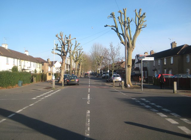
Image: © Nigel Cox Taken: 11 Jan 2015
This is Central Avenue, the main spine road through this area of Hayes that was mainly developed residentially between the two World Wars. This view is at the junction with Orchard Road and features some recently severely lopped street trees!
Images are licensed for reuse under creativecommons.org/licenses/by-sa/2.0
Image Location
Latitude
51.515309
Longitude
-0.414266