Carpark, 7-16 Stour Street
Introduction
The photograph on this page of Carpark, 7-16 Stour Street by John Baker as part of the Geograph project.
The Geograph project started in 2005 with the aim of publishing, organising and preserving representative images for every square kilometre of Great Britain, Ireland and the Isle of Man.

There are currently over 7.5m images from over 14,400 individuals and you can help contribute to the project by visiting https://www.geograph.org.uk
Carpark, 7-16 Stour Street
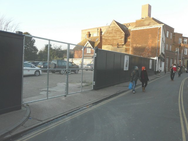
Image: © John Baker Taken: 25 Dec 2014
Previously this was a Image but is, for the time being, a carpark. Planning permission was granted by Canterbury City Council under application numbers CA//11/00509 for the “demolition of existing former warehouse and erection of 12 almshouse flats, guest suite and community room with associated car parking” and CA//11/00904 for the “demolition of former warehouse”.
Images are licensed for reuse under creativecommons.org/licenses/by-sa/2.0
Image Location
Latitude
51.279292
Longitude
1.078097