Carnoustie roof tops 2.
Introduction
The photograph on this page of Carnoustie roof tops 2. by Gwen and James Anderson as part of the Geograph project.
The Geograph project started in 2005 with the aim of publishing, organising and preserving representative images for every square kilometre of Great Britain, Ireland and the Isle of Man.

There are currently over 7.5m images from over 14,400 individuals and you can help contribute to the project by visiting https://www.geograph.org.uk
Carnoustie roof tops 2.
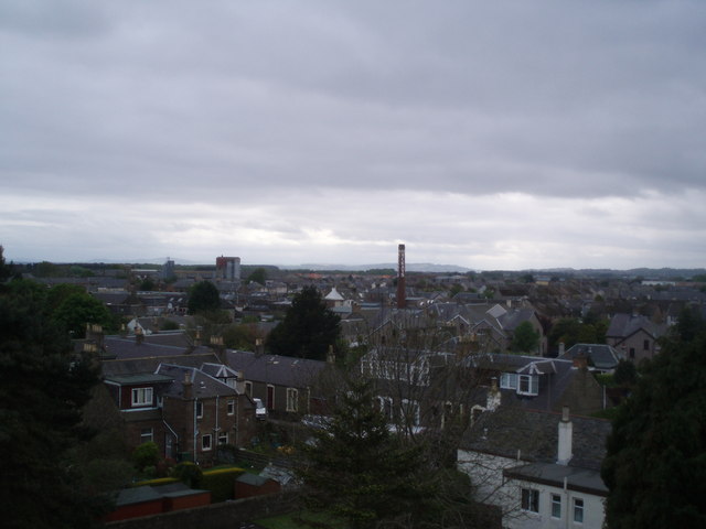
Image: © Gwen and James Anderson Taken: 12 May 2007
Looking south west. The chimney of Mackay's jam factory is prominent (soon to relocate to Arbroath) and the maltings to the left of the tower now being demolished.
Images are licensed for reuse under creativecommons.org/licenses/by-sa/2.0
Image Location
Latitude
56.501453
Longitude
-2.723512