A changed view near Six Mile Bottom
Introduction
The photograph on this page of A changed view near Six Mile Bottom by John Sutton as part of the Geograph project.
The Geograph project started in 2005 with the aim of publishing, organising and preserving representative images for every square kilometre of Great Britain, Ireland and the Isle of Man.

There are currently over 7.5m images from over 14,400 individuals and you can help contribute to the project by visiting https://www.geograph.org.uk
A changed view near Six Mile Bottom
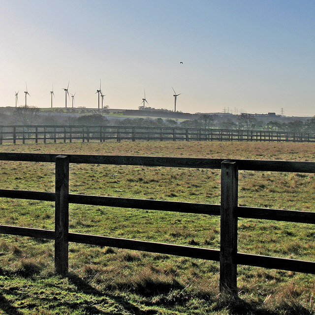
Image: © John Sutton Taken: 13 Jan 2015
Looking south, and into the sun, from the road from Little Wilbraham to Six Mile Bottom. On the skyline are nine of the thirteen turbines at Wadlow Wind Farm, which started generating in 2012.
Images are licensed for reuse under creativecommons.org/licenses/by-sa/2.0
Image Location
Latitude
52.190926
Longitude
0.297297